Language of The Landscape — Svalbard, Norway13.10.2022
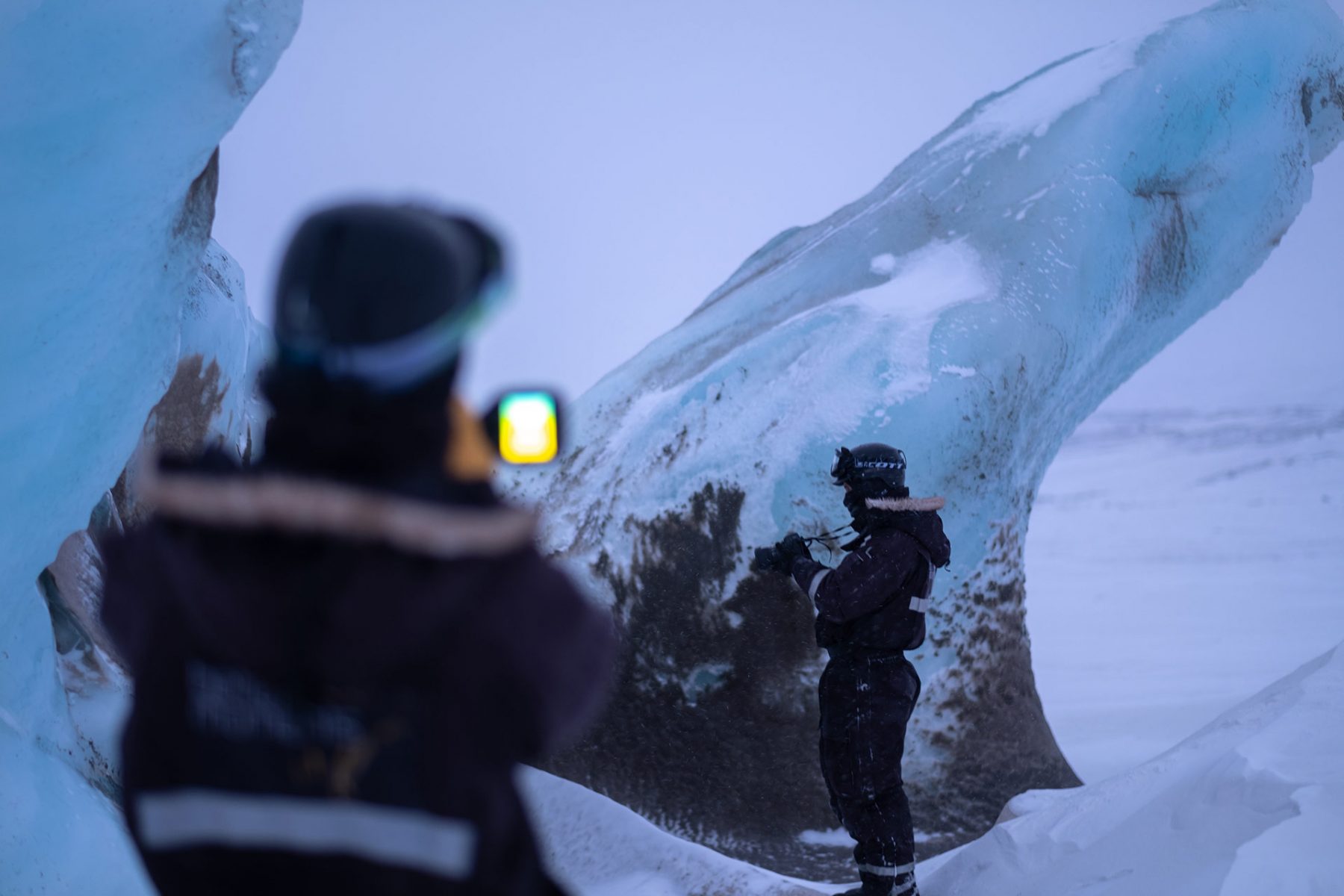
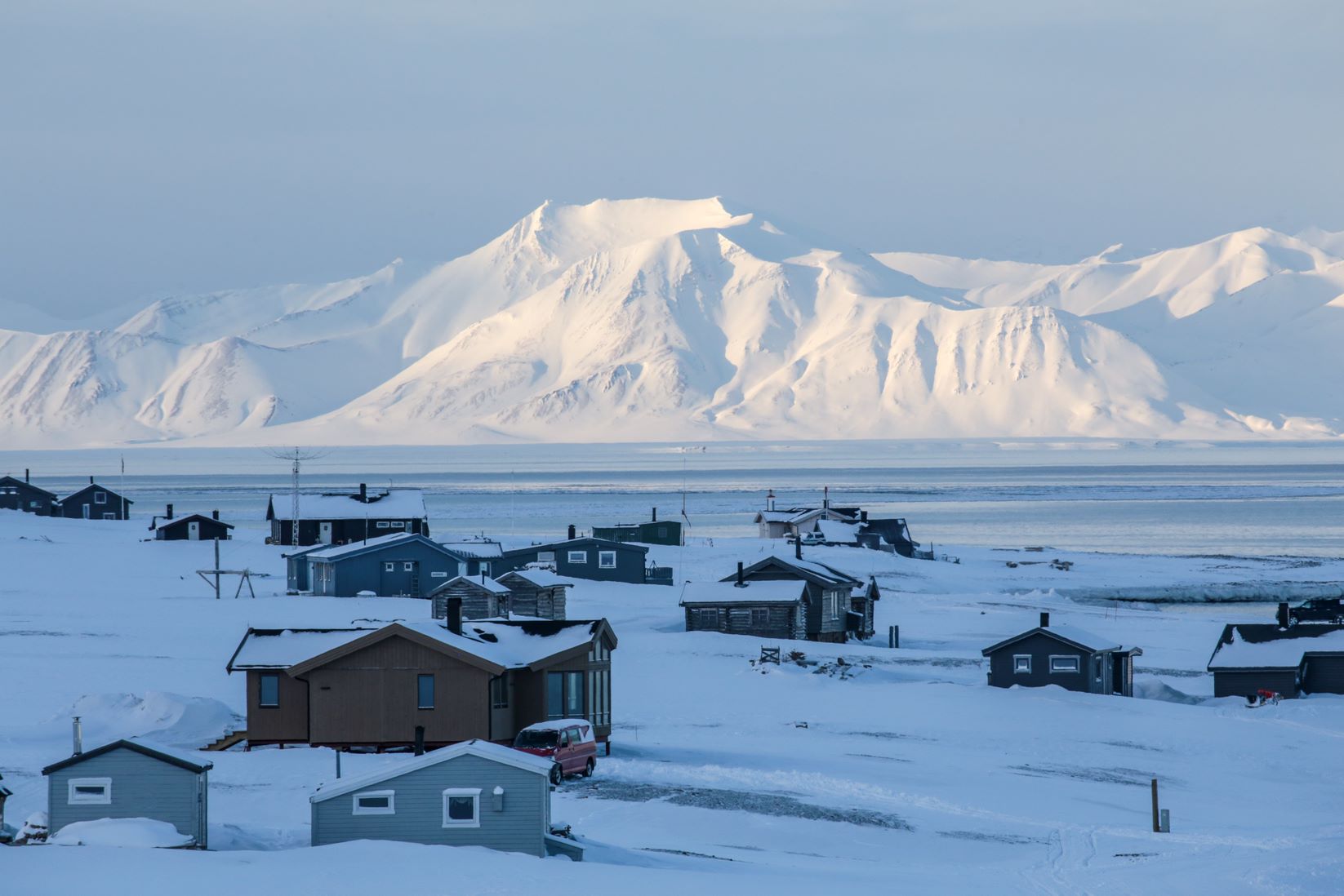
To document the transformation process of the Arctic landscape, Norse Projects travelled to the island of Svalbard, Norway. Partnering with Tideland Studio, we recorded the first registry into their Archive of Endangered Spaces, venturing across the Arctic Sea to one of the Northernmost inhabited places on Earth. It became an expedition deep into glaciers, across colossal geography and into the everyday lives of the people who inhabit this strange landscape.
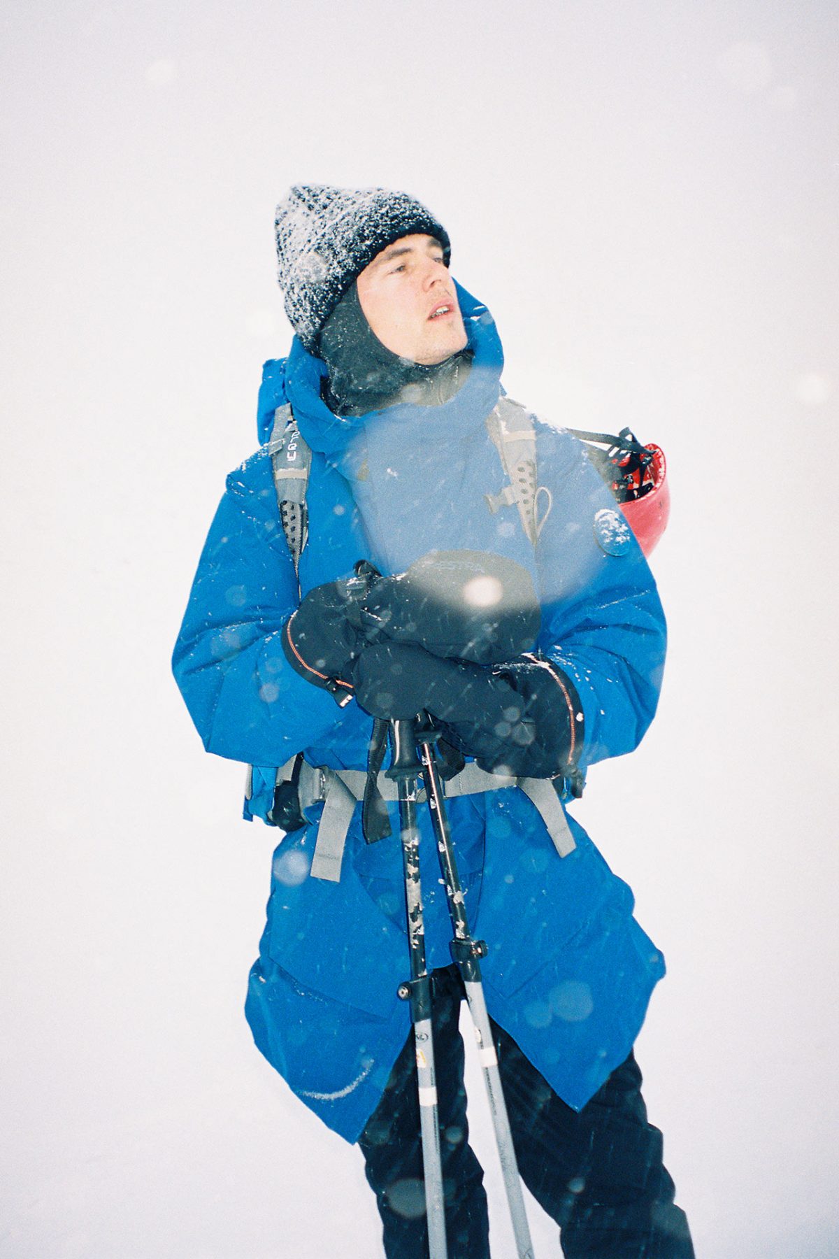
Ensuring that the Tideland team was in a position to undertake their research while fully incubated from the elements, Norse Projects equipped them with a uniform wardrobe system that would be adaptable enough to ensure full weather protection for their fieldwork and maximum comfort that promoted ease of movement as they traversed the icy terrains.
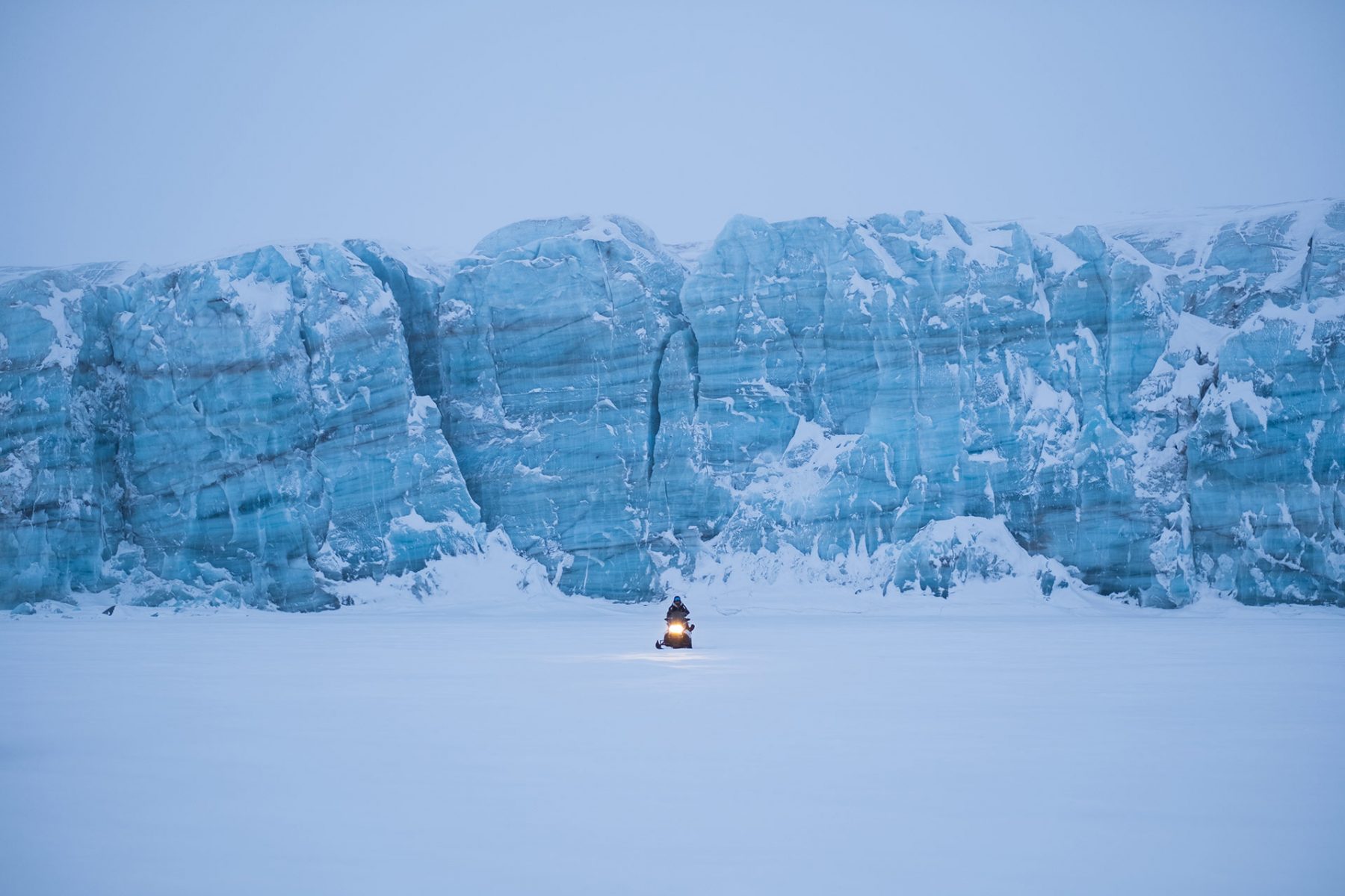
Tideland Studio is an architecture and research lab founded by Jonas Swienty Andresen and Simon Strøyer. From the depth of glaciers, Tideland extracted dense clouds of data trying to capture the traces of a changing climate. Observing the world with laser precision brings no precise answers but fascinating new perspectives on a landscape caught between permanence and collapse. The Archive of Endangered Spaces utilises technology and architectural methodology towards building a physical understanding of the effects of climate change and aims to preserve this current fragile state digitally for future generations to experience.
A summary of diaries and written material from Tideland Studio
Svalbard stretches out like a white blanket pulled over serrated peaks. The landscape seems untouched, immense and indestructible. Unfortunately, this is far from the truth. With a change in average winter temperature of 7.3°C since 1971, it is the place on earth where climate change is most evident. Climate change is incomprehensible to the human mind. It’s everywhere and nowhere at the same time. Like the sun, while we cannot look directly at it, we can track its movement across the ground.
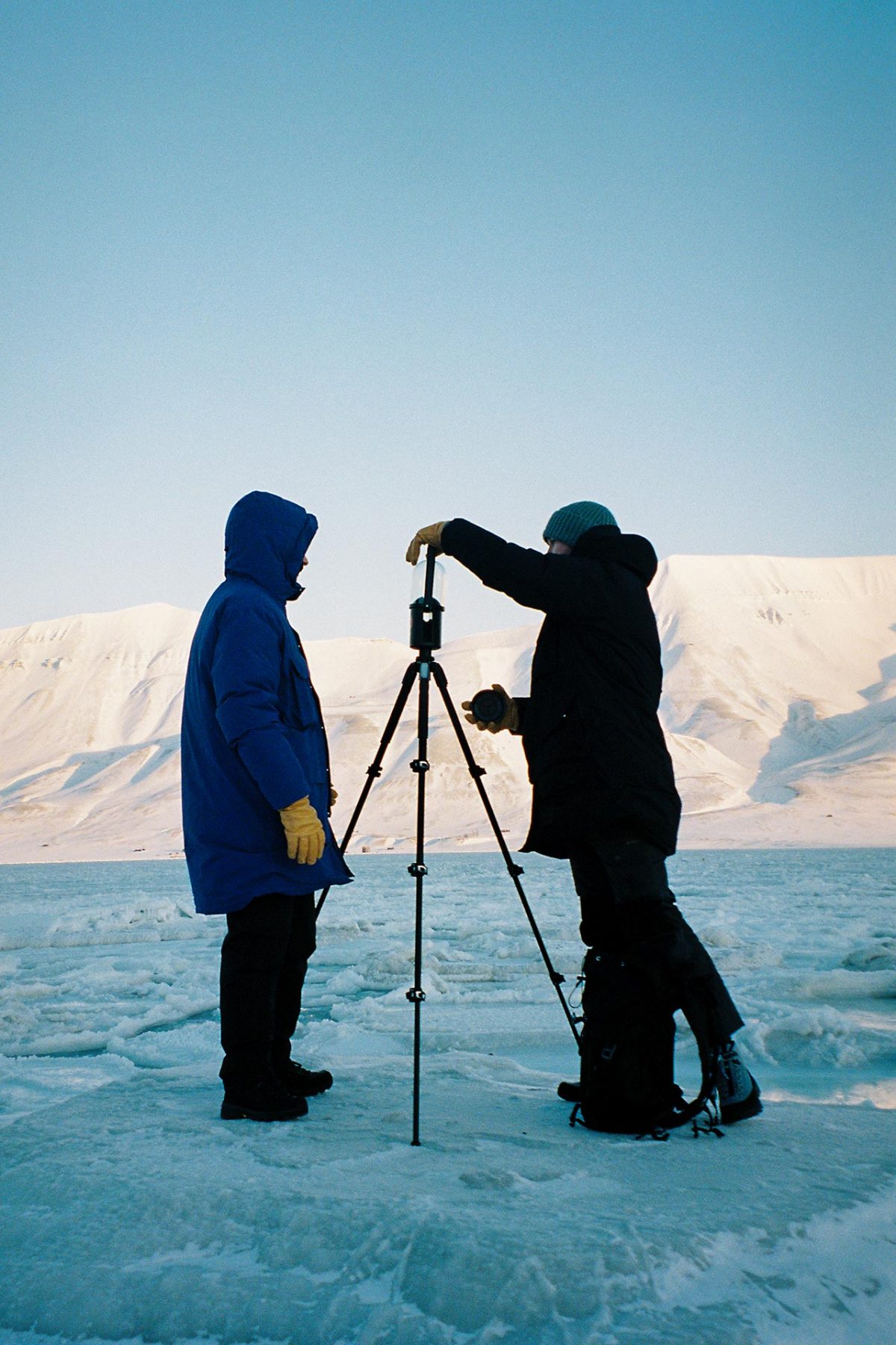
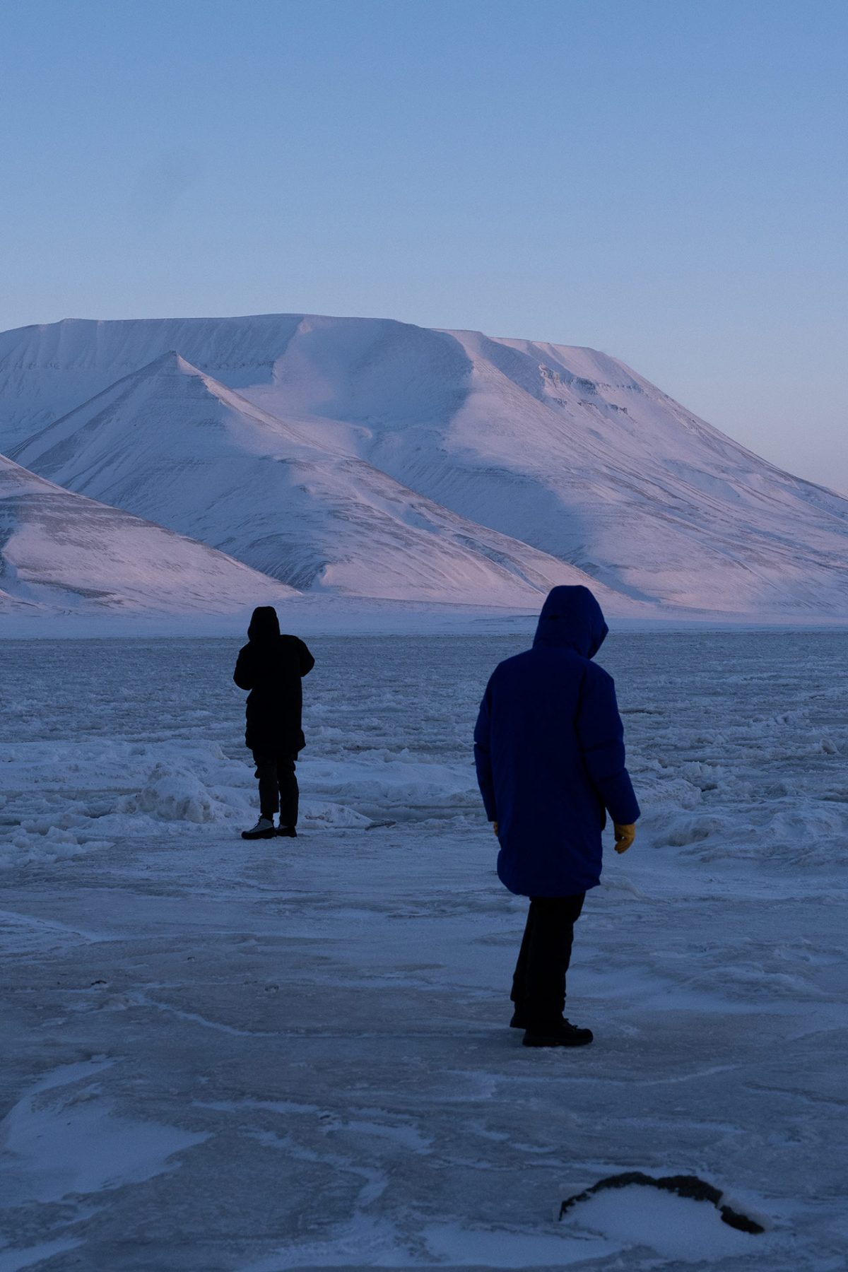
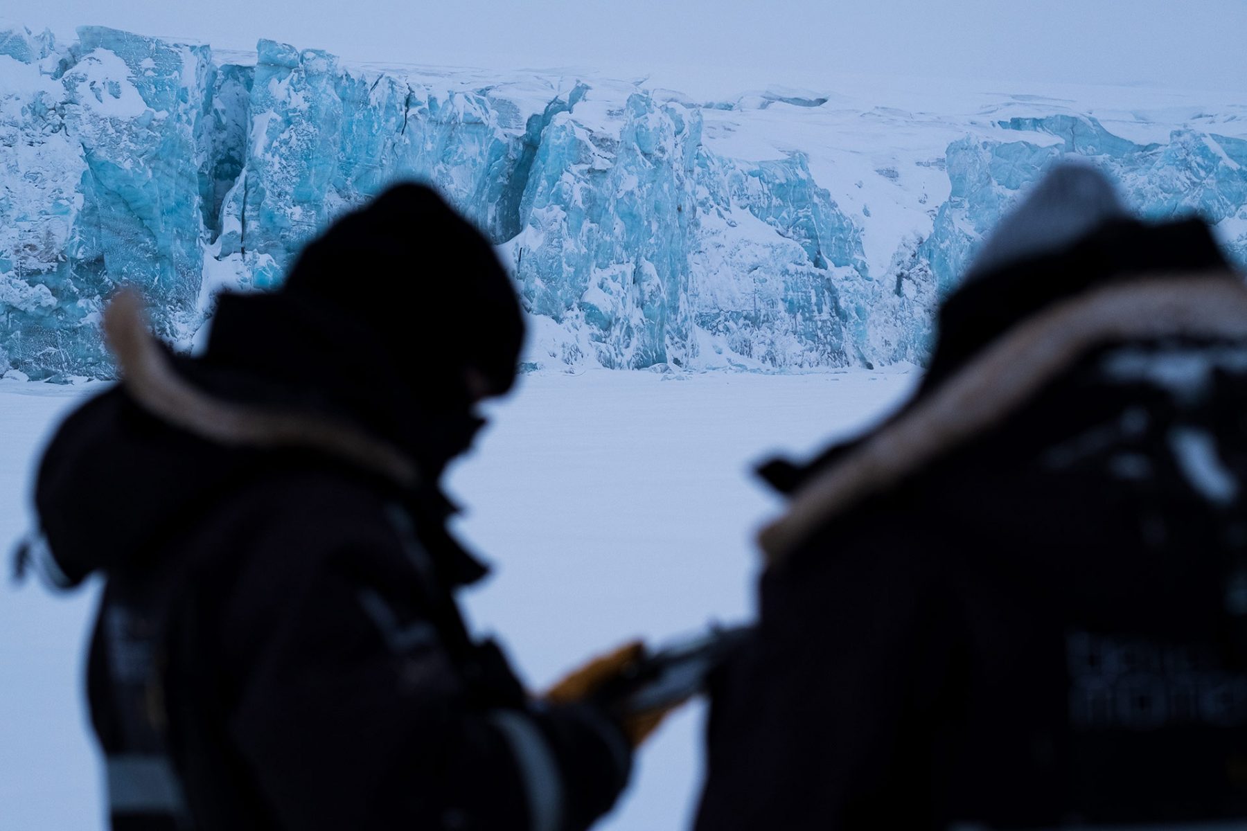
To prepare us for field trips we team up with scientists at University Centre in Svalbard. We talk about climate change, geology, glaciology and best practice in operating scanning technologies in the arctic. We bring a lot of equipment: 3D scanners, drones, video and sound equipment and an infrared camera. Despite our crash course, few things went as planned. Temperatures of -39°C wind chill prove difficult for our equipment to handle. A LiDAR scanner breaks down, batteries die and drones fall out of the sky. It’s strange and humbling to realise how dependent we are on external things in these harsh conditions. The thin layer of down and fabric protecting us from frostbite, guns to keep polar bears away, the hum of the snowmobile engine to keep us moving across the tundra.

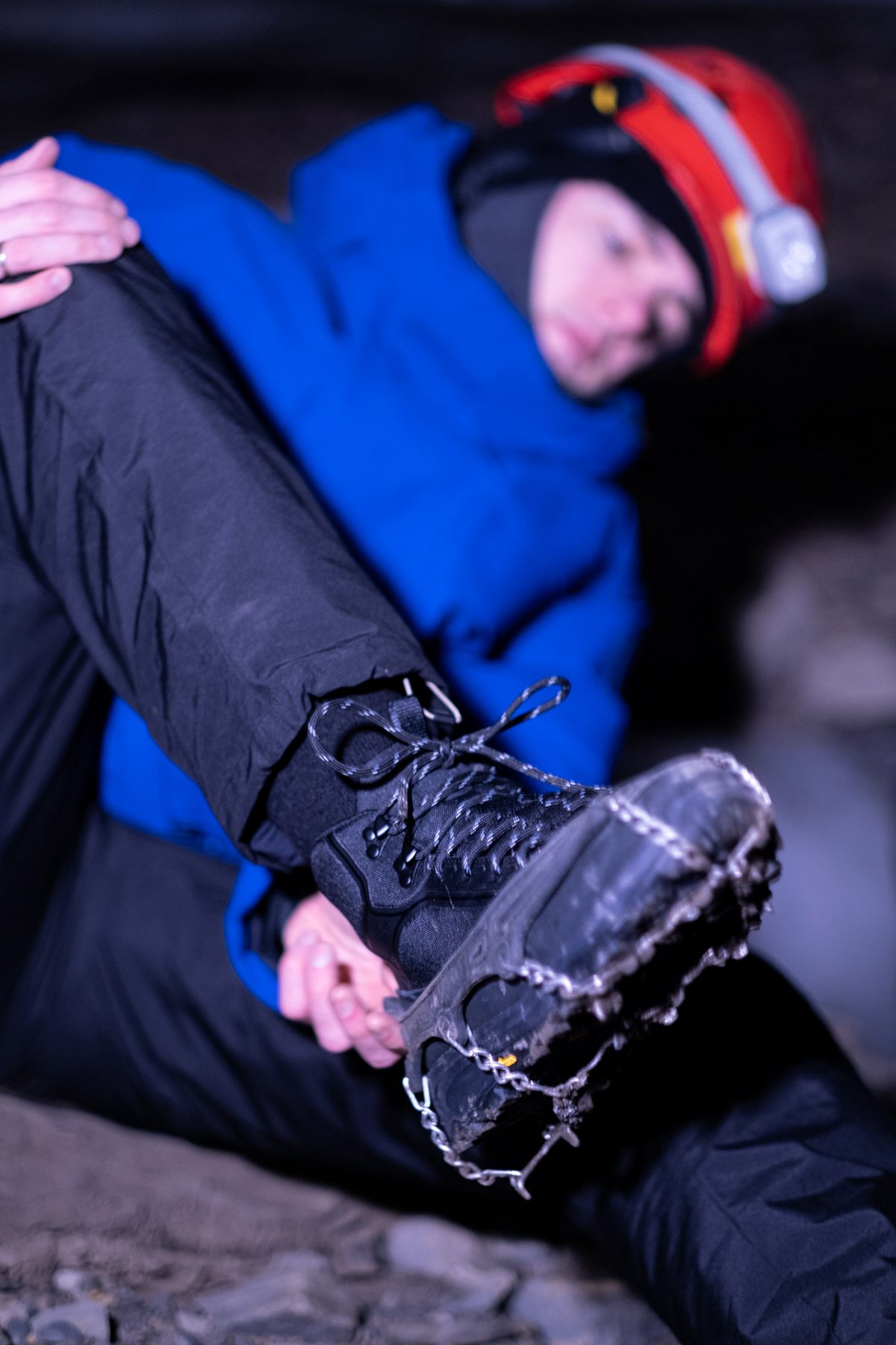
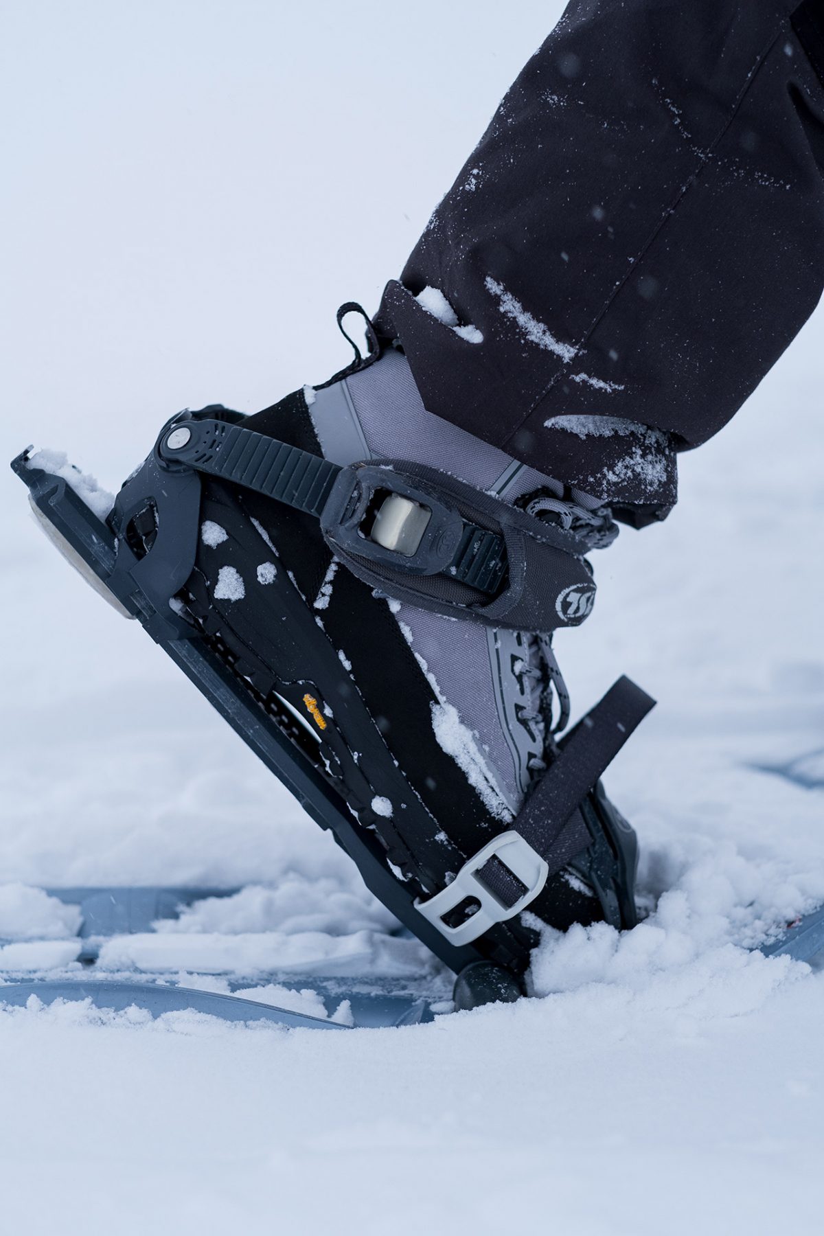
We make our way onto the glacier and our guide finds the small entrance in the snow to we push our equipment and then ourselves through to enter. In the summer season, meltwater forms complex channels within the glaciers. Some of these can be explored when the water freezes in winter. It’s hard and slow work, climbing and crawling while awkwardly pointing the lidar scanner onto surrounding surfaces. The strangeness of the cave is disorienting. No natural light, no straight surfaces, no sense of scale, no sense of time.
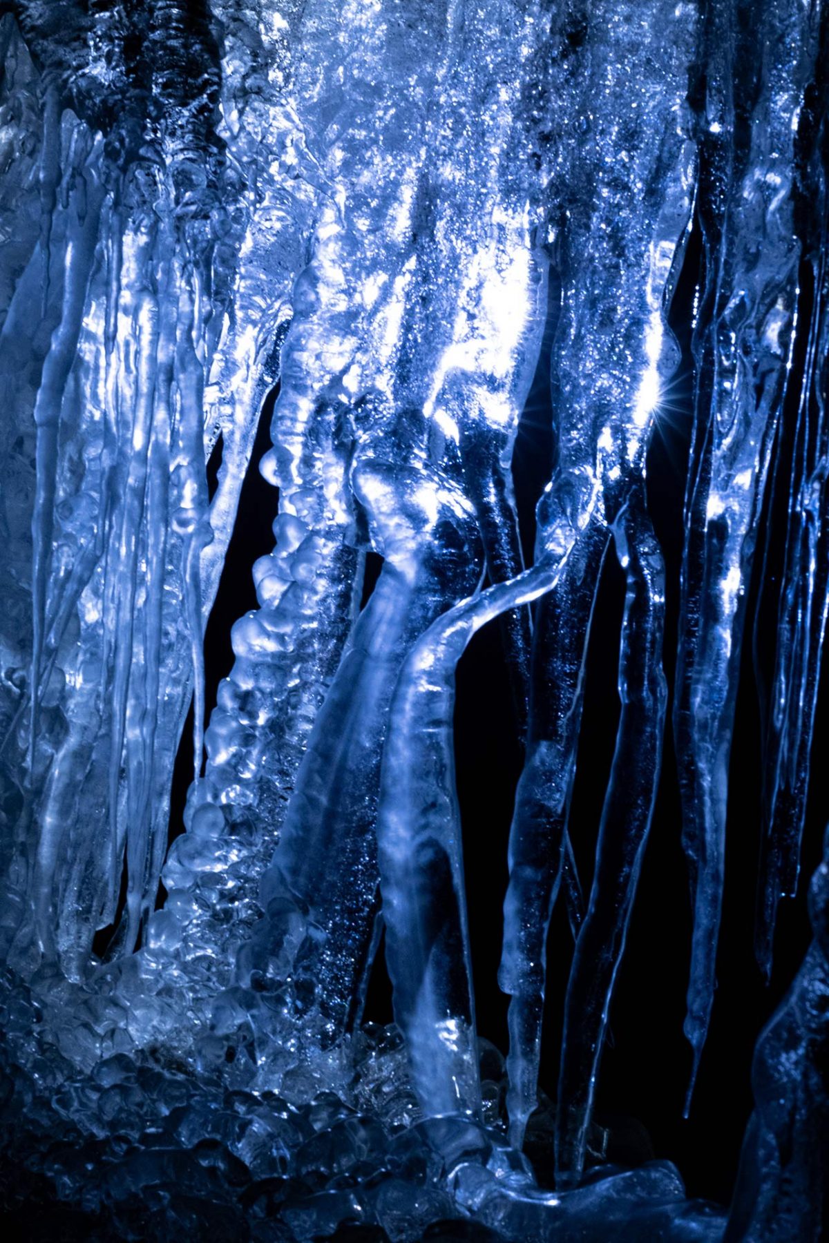
In the cave, time is physical. The light from my headlamp penetrates into the depth of the ice exposing its layers, some clear as glass, others obscured by sediment or air bubbles, telling stories of landslides or avalanches. Run your hands across the surface and hundreds of years go by. There are long horizontal carvings, one for every summer the water has dug deeper into the glacier. It is strange to think that a few months back vast amounts of meltwater gushed through the space my body occupies. Frozen, it takes on a myriad of odd shapes. Sharp vertical stripes, falling drapes, spherical droplets – formations caused by temperature fluctuations and drafts.
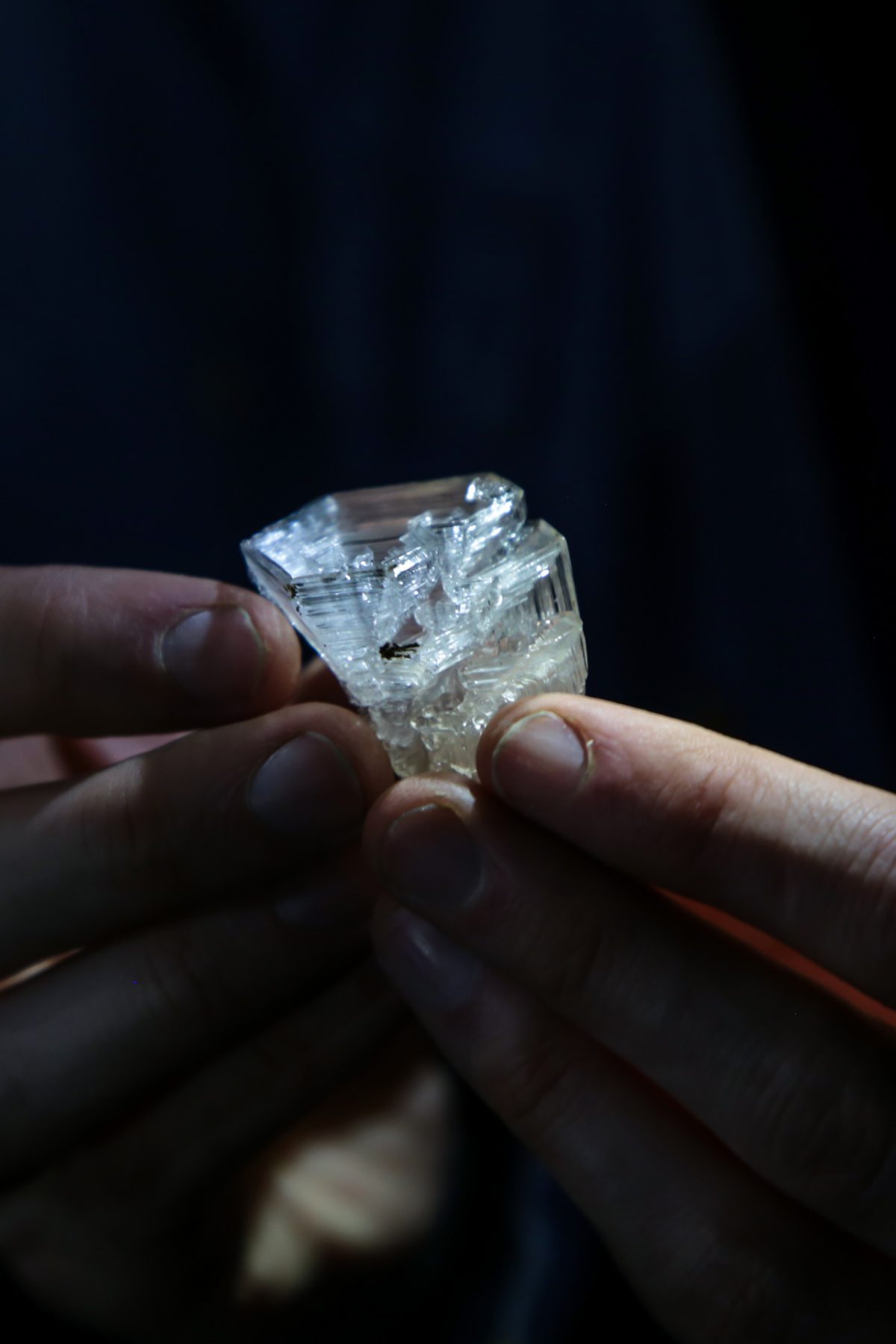
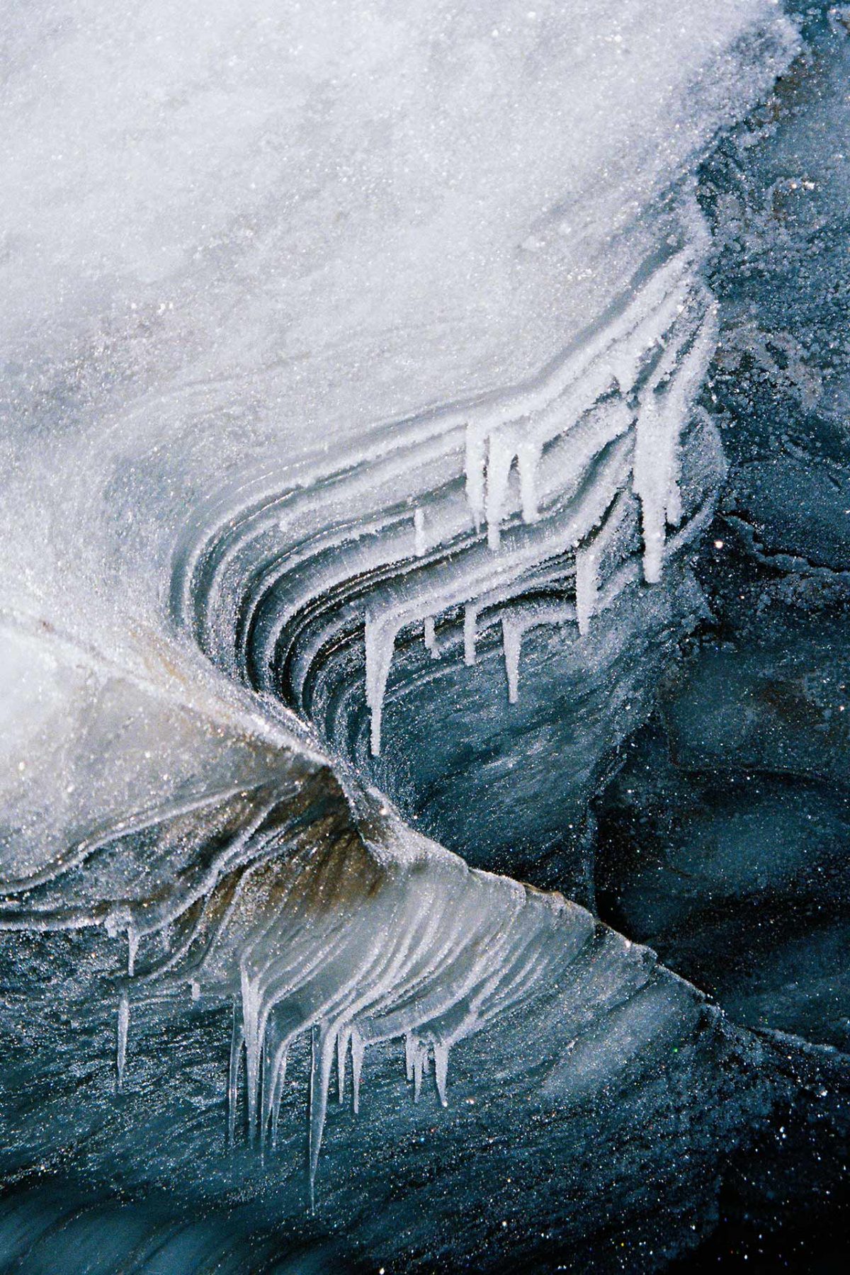
The Svalbard ice formations are the first spaces to be collected into the Archive of Endangered Spaces. Over time we will grow the archive while exploring and refining methods for collecting and communicating landscapes that will be lost to climate change.
As I write this a full-size, three-meter-tall fragment of the meltwater channel is being 3D printed. It captures the scale, and the surface details, but not the gravity or motion of the original. Translucent and without the mass of ice surrounding it, it has an ephemeral quality. The same applies to the point clouds, recognisable but porous as if they would disperse like smoke from the lightest touch. In contrast to the romantic imagination of permanence they convey the fragility of the arctic landscape, the sublime force of climate change.
